

Cerro Campanario
Rising 1,050 meters above sea level on the perimeter of Nahuel Huapi National Park, this bell-shaped peak owes its name to late-nineteenth-century boundary cartographers who likened its distinctive contour to a church campanile. The modern pilgrimage began in 1967 with the installation of its open-air, two-seater chairlift, an engineering effort that cuts an aerial corridor 640 meters through dense native forests of cypress, *lenga*, and moss-draped *coihues*. Crowning the summit are stepped flagstone terraces linked by stone staircases and fitted with brass azimuth compasses that map the surrounding Patagonian geography, crowned by a circular, glass-fronted *confitería* built from local volcanic stone and Patagonian pine. Standing upon the exposed upper balustrade, travelers are hit by biting Andean westerlies carrying the mineral scent of glacial runoff. The vantage unfurls in a breathless, 360-degree sprawl: the ultramarine expanse of Lake Nahuel Huapi snakes around the forested San Pedro Peninsula, dissolving into the jade-hued bays of Lake Moreno and the mirror-smooth surface of Laguna El Trébol. Looking southwest, the jagged granite needles of Mount López pierce the tree line, giving way on cloudless mornings to the glaciated, triple-peaked summit of Mount Tronador looming along the Chilean frontier. After taking in the sweeping sight, visitors retreat inside the wood-paneled pavilion, warming cold hands over mugs of thick hot chocolate and regional berry tarts.
More in Bariloche
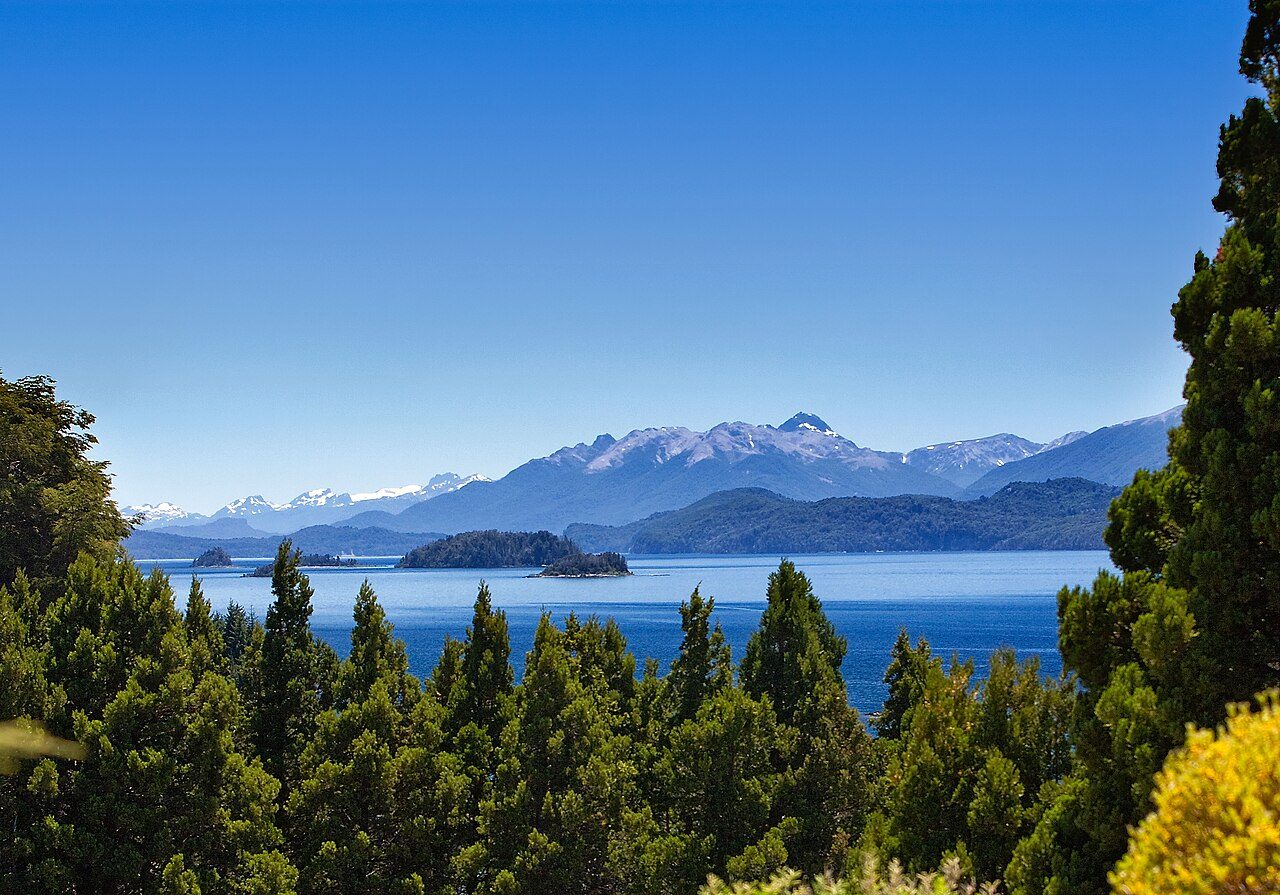
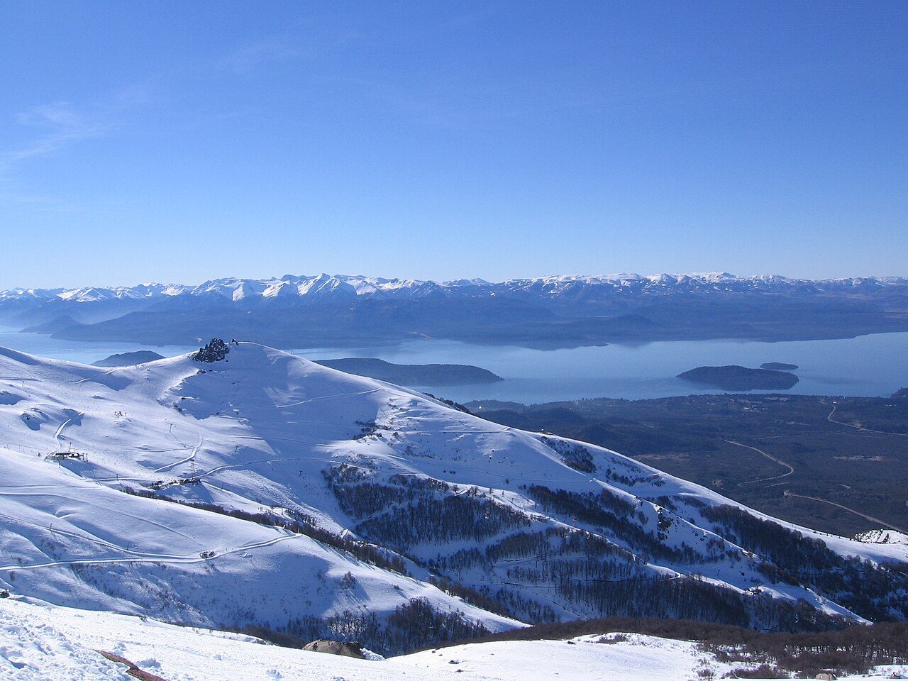
Photo credits (2)
- David, CC BY 2.0, via Wikimedia Commons
- No machine-readable author provided. Matiasmehdi assumed (based on copyright claims)., Public domain, via Wikimedia Commons