
Keli Plateau
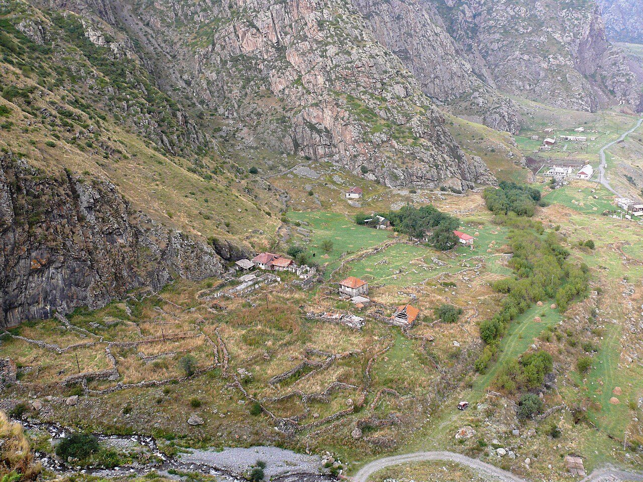
Rising nearly 3,000 meters above sea level within the upper reaches of the Kazbegi region, the Keli Plateau is a primordial volcanic highland forged by late-Pleistocene and Holocene eruptions. This high-altitude desert, extensively surveyed by geologists in the early twentieth century to map the greater Kazbek volcanic cluster, sits cradled between the rugged Truso Gorge and the Aragvi River basin. Rather than the verdant meadows typical of the Greater Caucasus, the landscape unfolds as a Martian expanse shaped by extinct monogenetic cinder cones, most notably Mounts Sherkhota and Khorisar. Slopes of crumbling cinnabar-red tephra, frozen basalt lava tongues, and brittle obsidian shards surround Lake Kelitsadi, a crater tarn holding icy, cobalt-blue waters at an elevation of 3,081 meters. Trekkers navigating this trackless wilderness encounter an eerie silence, broken only by gale-force mountain winds and the metallic clatter of loose shale shifting underfoot. The thin, dry air carries an unyielding chill, often dropping below freezing even during high summer nights. Standing on the desolate rim overlooking Kelitsadi, travelers confront a haunting, monochrome panorama where soot-black peaks and rust-stained volcanic scree plunge directly into mirrored glacial waters. Untouched by roads or permanent settlements, the plateau offers an immediate, sensory immersion into the raw, subterranean forces that originally built the Caucasian spine.