
Salar de Uyuni
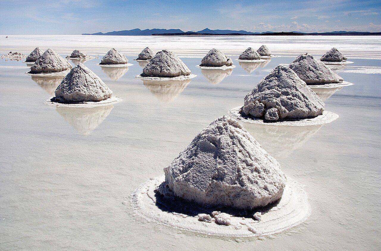
Born from the evaporation of prehistoric lakes Minchin and Tauca between 12,000 and 40,000 years ago, the salt flat blankets over 10,000 square kilometers of the high Bolivian Altiplano. Local Aymara oral history traces its origin to the petrified tears and spilled milk of the weeping goddess Tunupa, whose variegated volcanic summit still watches over the northern rim. Resting at an elevation of 3,656 meters, the lithium-rich crust crystallizes into endless, naturally occurring geometric hexagons. Jutting sharply from this bleached plain is Isla Incahuasi, a fossilized coral island studded with thousand-year-old *Trichocereus pasacana* cacti that tower up to twelve meters above ancient seabed fossils. Standing in the center of the flats triggers a complete collapse of spatial perspective. During the dry winter, the silence is total, broken only by the sharp crunch of dry salt crystals beneath your boots and the biting rush of high-altitude Andean wind against bare skin. Come the wet season between December and April, a shallow sheen of rainwater turns the crust into the planet’s largest natural mirror. The boundary between earth and atmosphere vanishes entirely; travelers walk suspended inside a seamless, disorienting sphere of cobalt blue and drifting clouds, floating between twin skies with no visible horizon in sight.
More in Uyuni

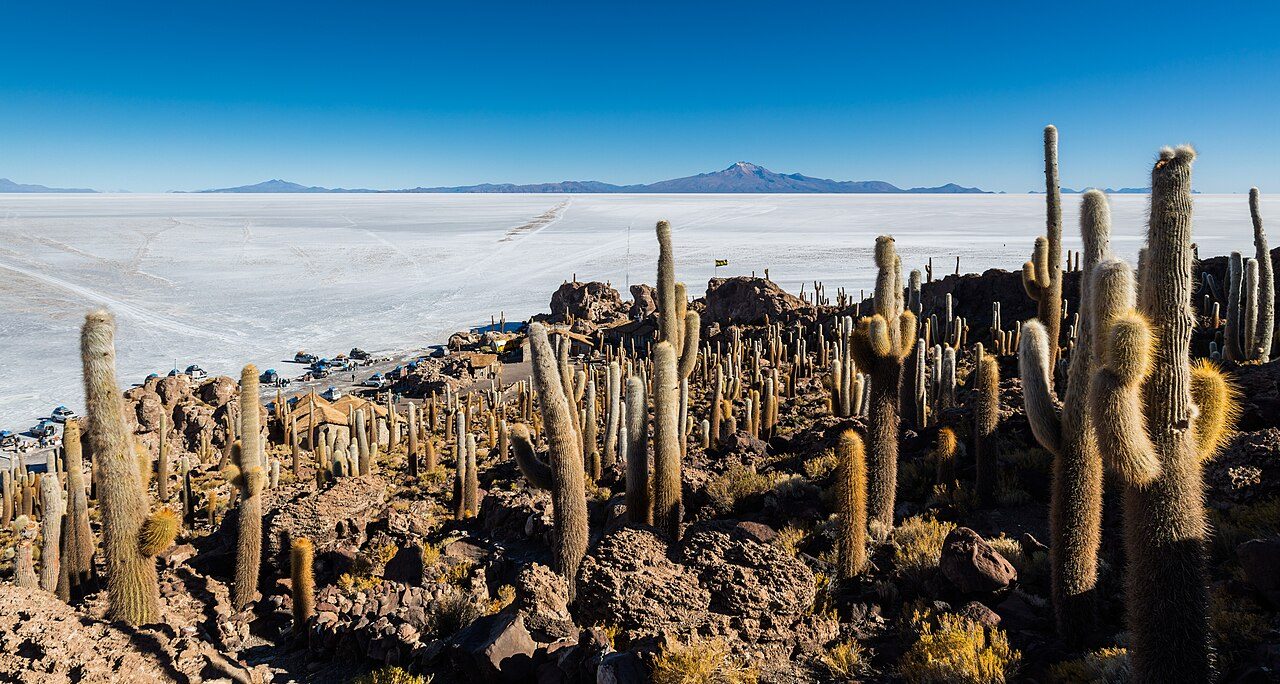
Photo credits (2)
- Luca Galuzzi ( Lucag ), edit by Trialsanderrors, CC BY-SA 2.5, via Wikimedia Commons
- Diego Delso, CC BY-SA 4.0, via Wikimedia Commons