
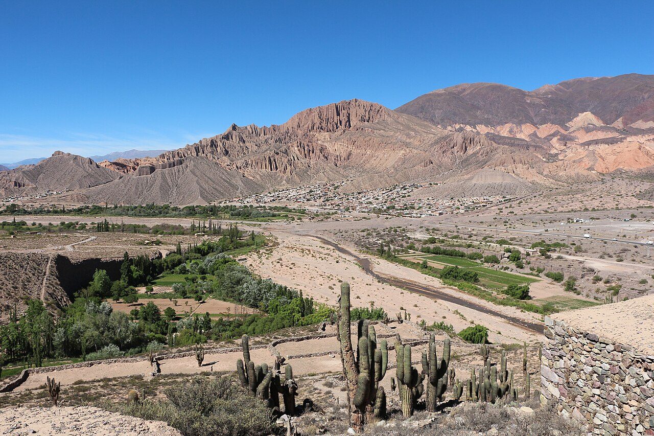
Quebrada de Humahuaca
Towering over the adobe hamlet of Purmamarca, the *Cerro de los Siete Colores* anchors the southern threshold of the Quebrada de Humahuaca in a dramatic clash of mineral sediment. Standing beneath the thin, high-altitude Andean sky, travelers watch morning light ignite stratified cliff faces striped in oxidized iron-red, copper-green, and mustard-yellow clay formed over 600 million years of geological upheaval. The crunch of dry shale underfoot along the three-kilometer *Paseo de los Colorados* trail yields panoramas of giant *cardón* cacti rising against barren sandstone. In the village below, the scent of burning carob wood drifts through the dusty plaza, where indigenous Kolla artisans lay out vibrant tapestries woven from hand-spun llama wool. This narrow 155-kilometer rift valley, sliced open by the Río Grande, has functioned for ten millennia as a cultural artery connecting high-altitude Andean civilizations to the Argentine lowlands, eventually integrated into the Inca Empire’s *Qhapaq Ñan* road network. On the edge of Purmamarca’s square stands the Church of Santa Rosa de Lima, consecrated in 1648, featuring thick whitewashed mud-brick walls, Cuzco School paintings, and a roof framed entirely from bound cactus timber. During the Argentine War of Independence, these rugged canyons turned into strategic battlegrounds, where General Manuel Belgrano orchestrated the 1812 Jujuy Exodus, rallying local guerrilla horsemen to repeatedly repel Spanish Royalist forces across the jagged frontier.