
Tierra del Fuego National Park
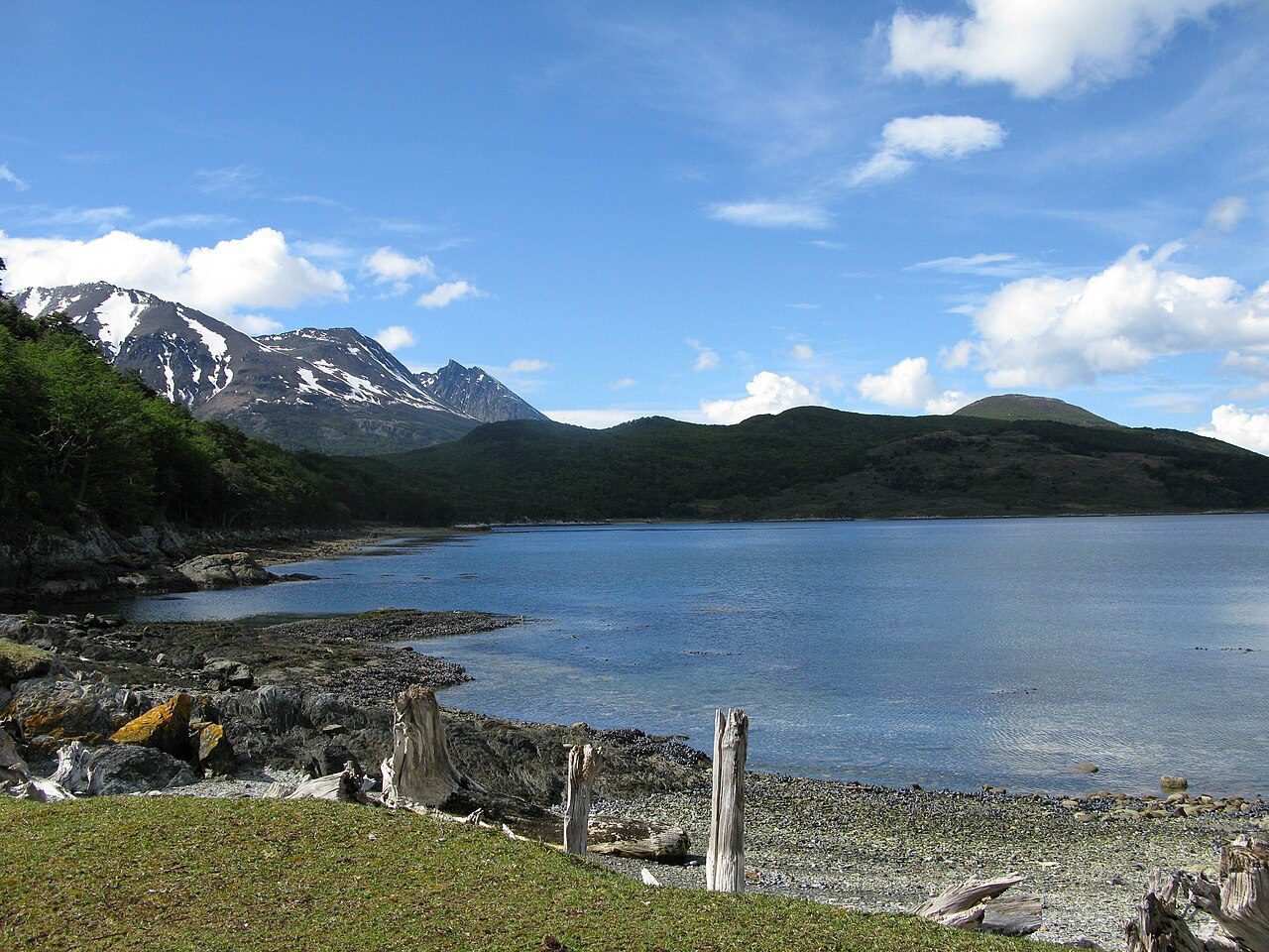
Established in 1960 to safeguard 63,000 hectares of sub-Antarctic wilderness, this park marks the dramatic maritime terminus of the Andes along the Beagle Channel. For millennia, nomadic Yaghan (Yámana) canoeists navigated these frigid fiords, leaving behind ring-shaped shell middens (*concheros*) still embedded in the turf of Ensenada Zaratiegui. Decades later, during the early 1900s, inmates from Ushuaia’s harsh penal colony cut timber across these valleys, carving out the narrow-gauge logging corridor now traced by the steam-driven Southern Fuegian Railway. Reaching the shores of Lapataia Bay, travelers confront the weather-beaten wooden sign designating the final terminus of Route 3 and the Pan-American Highway—17,848 kilometers from Alaska. The immediate sensory atmosphere is raw and austere: biting sub-polar gusts sweep across slate-gray waters, carrying the salinity of kelp beds alongside the damp, earthy musk of ancient peat bogs (*turberas*). Forests of deciduous *lenga* and evergreen *guindo* twist violently against prevailing westerlies, their limbs draped in pale, filament-like *Usnea* lichen. Looking northward across the glacial basin of Lake Acigami, visitors stand amid silent, wind-scoured terrain framed by the jagged, snow-capped crest of Cerro Guanaco.
More in Ushuaia
Photo credits (2)
- Butterfly voyages Serge Ouachée, CC BY-SA 3.0, via Wikimedia Commons
- Ted Wakabayashi, CC BY-SA 3.0, via Wikimedia Commons